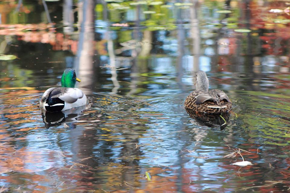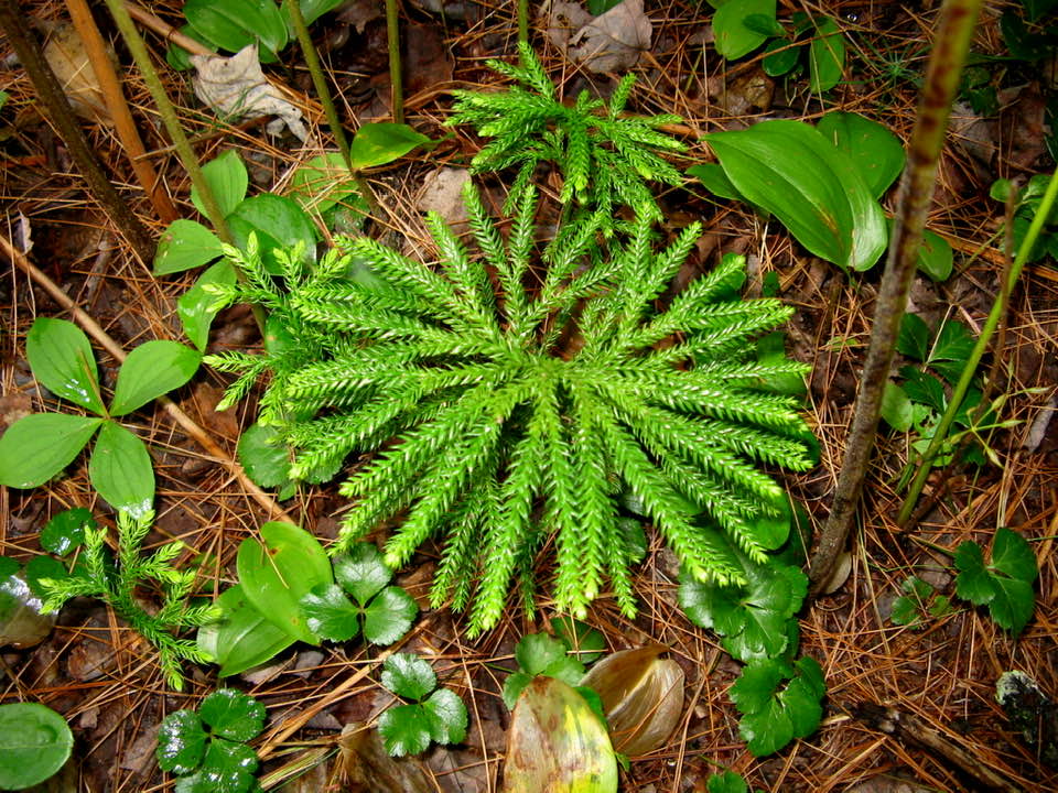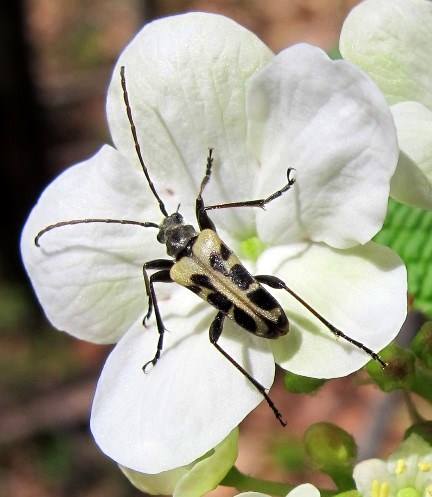


Quincy Bog (historically known as Cranberry Bog) was threatened by development in the early 1970s and purchased for $10,000 by a local group led by Joe Kent (incorporated as “Rumney Ecological Systems”). The Nature Center (131 Quincy Bog Road) was built in 1978.
Nearby on East Rumney Road, the 92-acre Quincy Pasture Forest deeded by the Nature Conservancy offers trails open to the public.
Located on the lower flank of Stinson Mountain, the property extends from frontage on the East Rumney Road almost to the boundary of the White Mountain National Forest, and contains the headwaters of Quincy Bog.

The former Baker State Forest was deeded by the State of New Hampshire and renamed the Baker Forest. A combination red pine / white pine plantation, the 5-acre property will be managed for sustainable timber production.

In order to protect the ledges on the north side of the Quincy Bog Natural Area, we obtained a Deed Easement on a 100-foot strip abutting the ledges of an adjacent property. This provides public access to a trail and observation site on top of the ledges, prevents development, and protects the area from timber harvesting.
It provides public access to a trail and observation site. The Ledges Trail and Viewpoint were constructed in 2022, offering visitors stunning views of QBNA and the surrounding mountains, and enabling bird watchers and others to observe the considerable wildlife activity around the Bog.

The 135-acre Bloomfield property is located on the Class VI Cummins Pond Road in Dorchester. It contains upland forest and a small stream. The easement ensures that the property will be retained forever in its undeveloped scenic and open space condition.
These easements protect properties (3.5 acres, 26 acres and 128 acres) that offer significant conservation values: working forest, old forest, rolling fields, wildlife habitat, water resources including an underlying gravel aquifer, river and lake shoreland, and scenic views. The properties will remain undeveloped except for limited repairs/reconstruction of an existing building in the Development Area on one of the properties.
The Fauver/Wassett property off Texas Hill Road in Plymouth protects 401 acres of fields, wetlands and woods. The “Fauver East” Trail leads to the town-owned Walter-Newton Natural Area. By placing a conservation easement on the property, a significant block of unfragmented wildlife habitat will be protected, the quality of ground water and surface water will be maintained, and broad views of the forested ridge will be preserved for the scenic enjoyment of the general public. The family gave up the right to develop 362 of the 401 acres; the remaining 39 acres will be limited to the construction of no more than six single-family residences.
As of 2022 the family has subdivided four parcels from the original 401 acres, leaving 36 acres under family ownership. Regardless of ownership, the easement continues to protect the entire 401-acres.
The Simpson property on Highland Street and Old Ward Bridge Road in Plymouth conserves 28 acres of woodland and open field, including 721 feet of frontage along the Baker River. The property will remain undeveloped, ensuring protection of an important block of unfragmented wildlife habitat, maintaining the quality of ground and surface water adjacent to the Baker River, and preserving views along one of Plymouth’s main thoroughfares for the scenic enjoyment of the public. Trails on the property will remain open to students and staff of the Plymouth schools and to the public for cross country running and skiing, hiking, wildlife viewing and other non-motorized outdoor activities.
The original Fauver/Wassett easement property was subdivided; 8.3 acres of Protected Property and 5.1 acres of Wassett Residential Site C, on the west side of Texas Hill Road in Plymouth, were conveyed to a new landowner. The property continues to be protected by the 2011 easement.
The original Fauver/Wassett easement property was subdivided; 5.7 acres of Protected Property and 8 acres of Wassett Residential Site B, on the west side of Texas Hill Road in Plymouth, were conveyed to a new landowner. The property continues to be protected by the 2011 easement.
The original Fauver/Wassett easement property was subdivided; 230.7 acres of Protected Property and 18.7 acres of Wassett Residential Site D, on the east side of Texas Hill Road in Plymouth, were conveyed to a new landowner. The property continues to be protected by the 2011 easement.
This easement conserves a 145-acre property in West Campton, purchased in 2021 by the Town of Campton. It protects 1.3 miles of riparian habitat along the West Branch Brook (part of the Pemigewasset River Watershed), at least 10 intermittent interior streams, mature hemlock, pine and mixed forest, abundant vernal pools with seasonal populations of breeding amphibians, and pristine conifer swamp basins. The property was the site of the Spokesfield homestead during the late 19th and most of the 20th centuries and includes the remnants of a cellar hole foundation. The property will remain undeveloped and open to the public for low impact recreation, including walking, bird watching, nature observation, snowshoeing and cross-country skiing.
The original Fauver/Wassett easement property was subdivided; approximately 88.5 acres of Protected Property, located on Old Hebron and Texas Hill Road in Plymouth, were conveyed to the Town of Plymouth. The property, which contains the Clay Brook Wetlands Complex, continues to be protected by the 2011 easement.